MUNDUK
Visited May 2014
Munduk, background on ridge, has some pretty nice surrounding countryside..
Munduk is a busy mountain village in central-north Bali, located on the main road leading up to the Lakes Bratan/Buyan/Tamblingan caldera (known collectively as the Bedugul caldera) just to the east.
The town is a ribbon development stringing just over 1km along the main road which runs along the top of the ridge. There are nice views both into the valleys and across to adjacent ridges each side. The surrounding countryside is pretty good to explore. This oblique Google Earth image is pointing more or less directly east bottom to top. The waterfall top left has a ? because I never found it - see later.
The surrounding countryside. The main road has awesome views in the area just above the "?" and around the ridge of Lake Tamblingan. From there it continues along the ridge above bigger Lake Butan and then drops to the Lake Bratan/Bedugul area with a turn-off to the north coast. The white line at bottom is the route of our cross-country trek - see later. Aditya Homestay was our digs in Munduk.
The balcony of our room at Aditya Homestay had pretty good views of the adjacent valley and parallel ridge. You are looking south-east here. The mountain far left is Guning Batukaru, a dormant volcano and Bali's second highest peak at 2276m (approx 7500ft). These pix click-expand for detail.
Zooming in on some of the rice fields areas.
Something I didn't expect - Munduk's height also gave it views of the coast west of Lovina - all the way to the north-west tip of Bali (and of the volcanoes of north-east Java when the cloud cleared - see shot on the main Bali page).
Munduk's bustling main street had a pretty full range of businesses. I can't report on restaurants because Aditya Homestay food was so good and inexpensive. There seemed to be plenty of other homestay restaurants in the near vicinity. Cloud in background is over the high rim of the 3 lakes caldera which the main road must climb - a great journey with outstanding views when the cloud clears.
THE RIDGE-RICE FIELDS TREK
I fancied checking the surrounding countryside and mapped out a good walk from Lake Tamblingan to Aditya Homestay by back roads down the parallel ridges. Google Maps showed the distance at just under 6km and time at 100 minutes. We didn't intend to include the rice fields this trek, but a wrong turn included that area and we ended up back on the main road some distance west of Munduk. Duh! With stops for pix and refreshments in a kafe overlooking the rice fields the walk took about 4 hours and I figure we covered around 11km.
Step 1 was getting up to the lake. We got Aditya's driver to take us up the main road and then down to Lake Tamblingan to make a kind of circuit with the following walk. The main road is very steep and windy in parts with good viewpoints if the cloud is clear.
The side road down from the highway had elevated views of the lake but not from the heights of the main road closer to Bedugul.
The area at the south end of the lake has a small 15000idr entrance fee. It's kinda underwhelming - Lake Tambingan is much smaller at about 2km long than lakes Buyan and Bratan and the area above does not have much going on - has a temple towards the right of image which may be clearer if you click-expand - but the whole scene looked pretty run down. I think you can do jungle trekking and watersports somewhere around here. Our driver to Bedugul next day told us he used to live by the lake but flooding forced his family and many others to move away.
Our route from the lake right back to Aditya. I figure our wrong turn was just after the "ridge/rice fields..." place marker. Note the last 1km trudge back up the main road to Aditya was a pretty steep uphill slog. Not so welcome after more than 3 hours.
Once on the road, we soon came to this overview. That's Munduk way down there close-center. Google Maps tells me I took this shot at 1200m whereas Munduk is about 840n.
With so much height to lose the road is largely downhill. But not everywhere as the bottom shot shows - here the road is actually swapping ridges. This sort of countryside typifies 80% of our walk - mixed bush and scattered farming. Closer to Munduk were a few small villages lining the road.
About half way thru the walk we came across this outfit parked beside a restaurant. Outfit caters for tourists who want to check the scene by bicycle.
Betsy checks out the crazy tourists.
When we finally hit the bottom of our ridge road and found ourselves overlooking the rice fields we realized we had taken a wrong turn somewhere. No matter - we saw an area I originally intended to miss (it's scenic but can't match the areas around Sideman or along the rice fields road further west), although the extra time taken meant checking the waterfall the other side of town would be a bit rushed.
THE WATERFALL TREKThere are 2 waterfalls in the deep valley across the other (northern)side of the Munduk ridge. The first is close to town, the second reached from a car park alongside the main road about 3-4km east. I tried to find the former.
I wasted a bit of time looking for the start of the non sign-posted track which is where those people are very near the pedestrian crossing to the village school. This is just west of the shops area in town.
The path starts off as a nice stroll down the forested mountainside with scattered dwellings. But Aditya's district map showed I needed to take a left hand turn along here - the trouble was there were at least a dozen left hand turns - no signs. After trying 3 of them which all eventually ended up in someone's front yard, I gave up. Time lost on the ridge/rice fields walk meant it was getting late in the day - I didn't want to end up deep in the valley on a tricky track in fading light. So I gave up. Given more time I'm sure I could have found it.
All was not lost - the higher parts of the path near town afforded this nice view of Bali's north-west coast.
ADITYA HOMESTAY
Aditya is a class act. It gets excellent reviews on the user and booking sites, is inexpensive (we paid about $US30 including breakfast on Agoda in shoulder season May 2014) and is situated only 30m from Munduk's main street with panoramic views over the valley and ridges to the south. Our room was spacious, spotless, the bed was comfy (I thought the pillows a bit hard but that's and individual call) and had a spacious bathroom with good hot water. It was quiet and cool (fan only needed this high, and not at night0. Our balcony had those killer views. The family running this place gave excellent service.
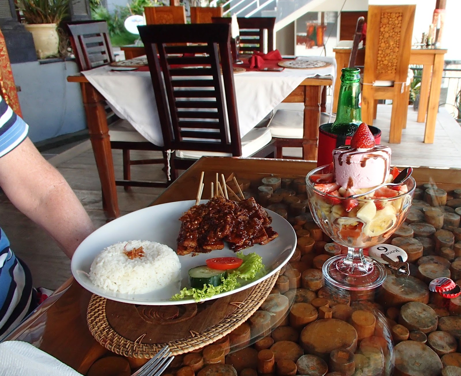
Food was very good and at Bali budget restaurant prices. The restaurant also had those panoramic views. Free wifi was strong here - extended to our room close upstairs but I'm not sure about other rooms.
-----------------------------------------------------------
IF YOU SEE MISTAKES OR HAVE EXTRA INFORMATION, PLEASE POST IT BELOW. BUT IF YOU HAVE QUESTIONS PLEASE POST THEM IN THE FORUM WHICH I CHECK MOST DAYS WHEN NOT TRAVELLING - WHEREAS I SELDOM REVISIT INDIVIDUAL LOCATION PAGES.
BACK TO INDEX.


.jpg)


Komentar
Posting Komentar